runningApp
3 gps, geographical tools made for fun and hopefully usefull for others
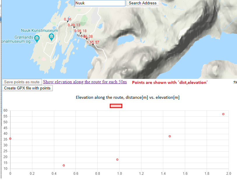
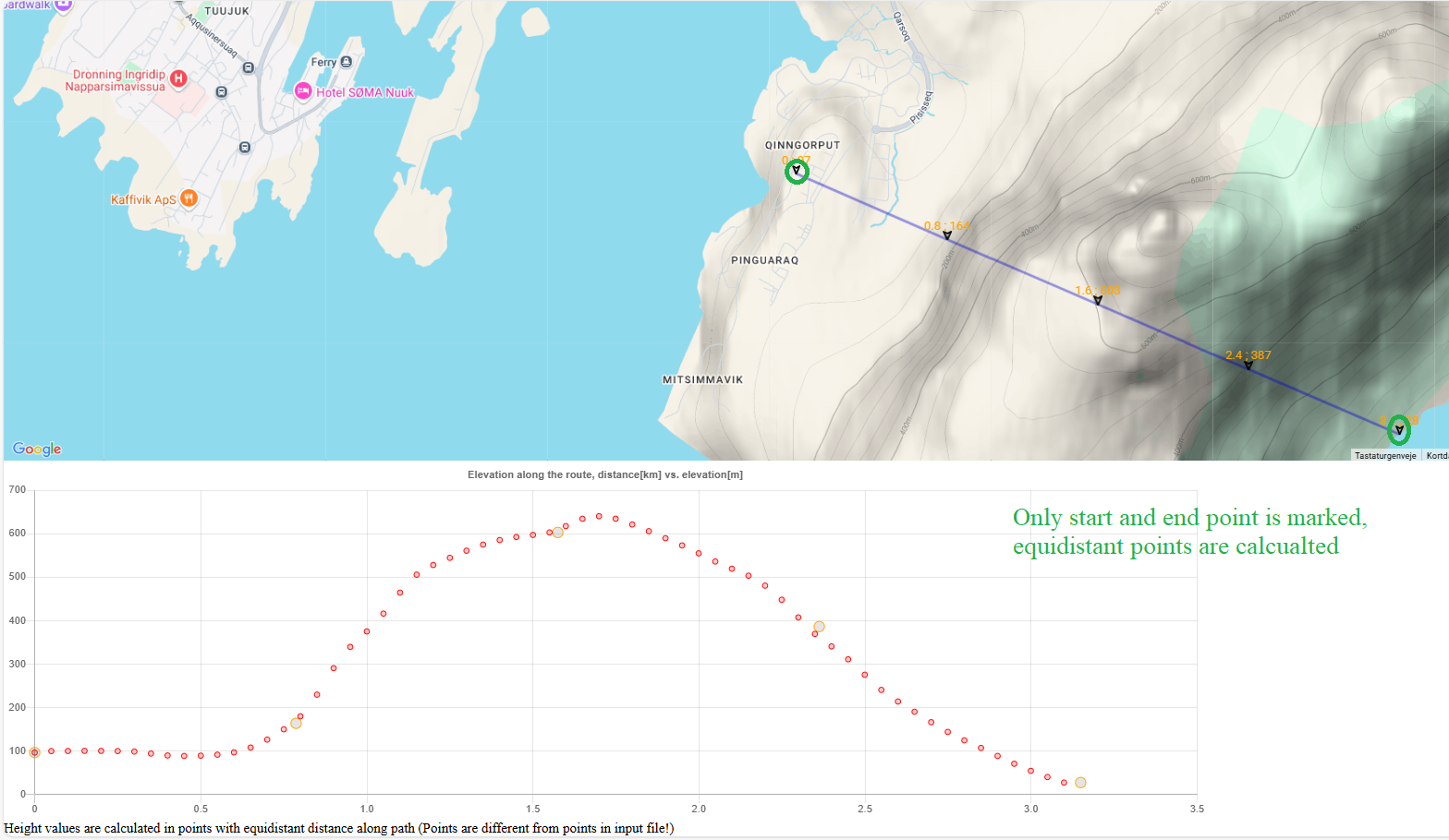
Mark-up a route on Google map, then distances and elevations for the route points are calculated, and you can generate a gpx file for the route
GPS-route-tools/elevation-along-upmarked-route
You can
mark-up a route, then distances and elevations for the points are calculated
and shown on a map
--------------------------------------------------------------------------------------------------------------------------------------
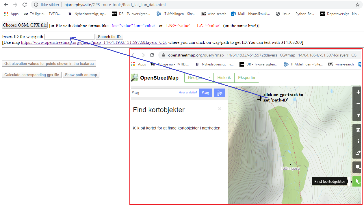
Create a gpx file for a OSM(OpenStreetMap) path/way/track or from a (lat,lng)-set, elevation profile is also calculated
Read_Lat_Lon_data.html
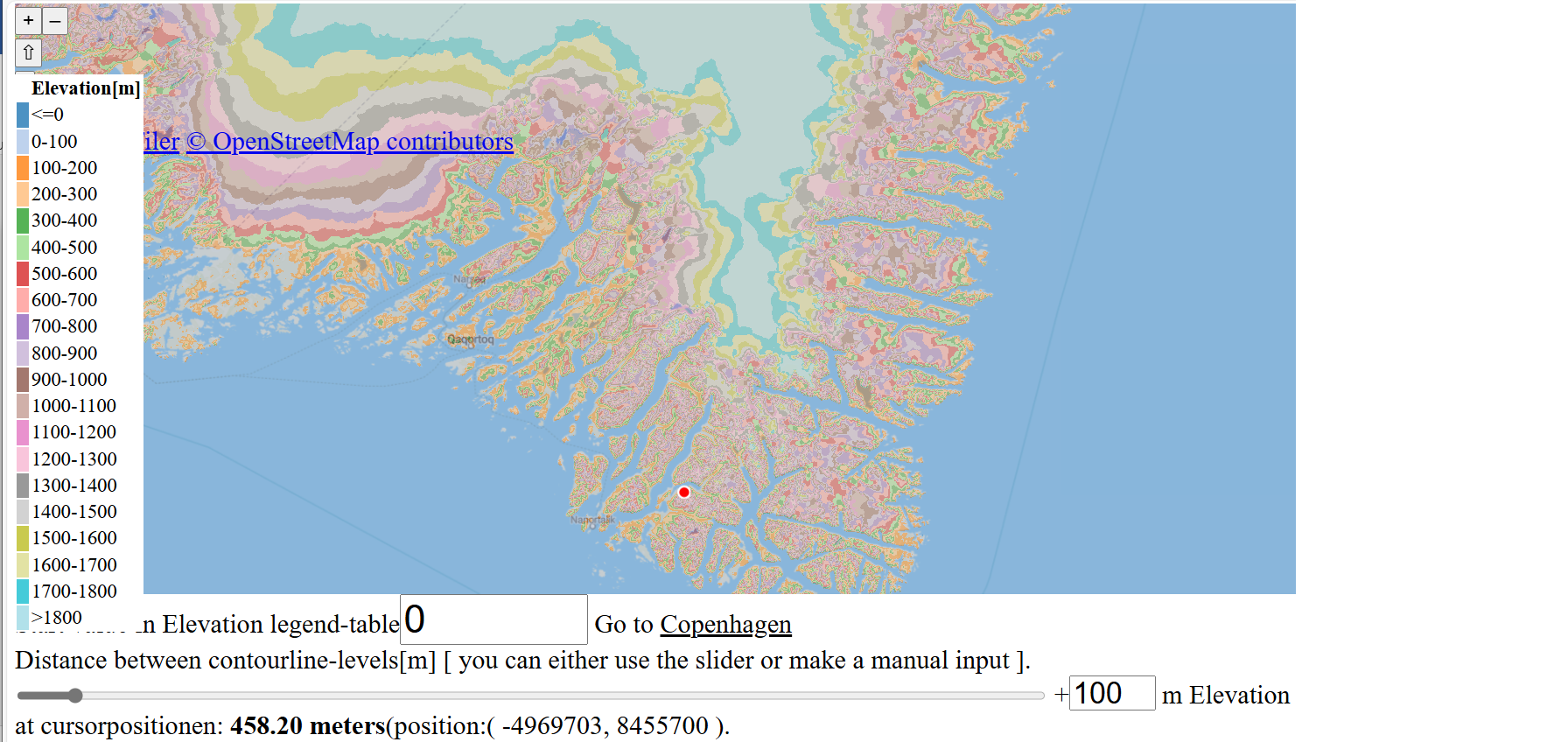
Of cource ypu can move the center and zoom level; if you try the sliders you can imidiately get an impression of the landscape
Can be used on a mobile device, showing position and height, recording of a route is possible.
Link to application
Contact me:Bjarnephys@yahoo.dk