[or file with dataline format like ..lat="value" lon="value' or ..LNG='value' LAT='value' (the two numbers must be on the same line!)]
Insert ID for way/path from OpenStreetMap:
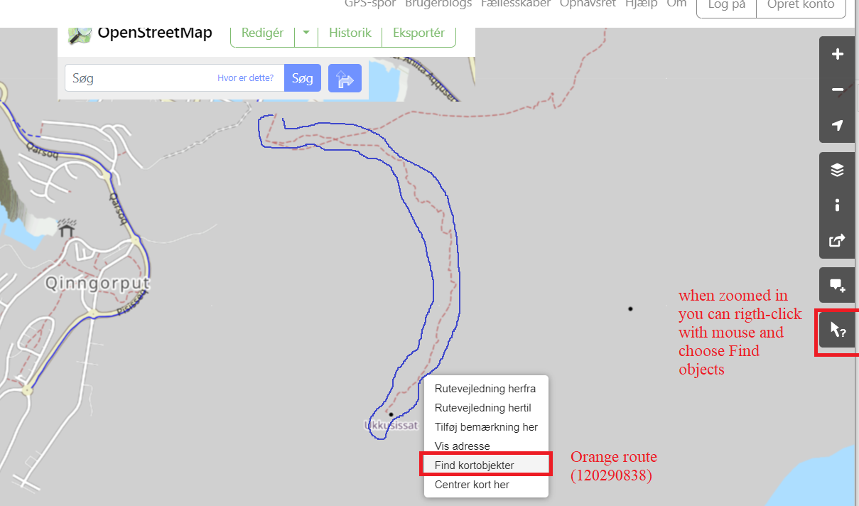
You can try to get ID for the route within the blue marking (the locally famouse 'orange' route to the top), set cursor on
path, right click, choose find 'objects'
link to this map:
https://www.openstreetmap.org/query?map=13/64.1932/-51.5972&layers=CG,
you have to zoome in once to zoom level 14 to be able to selct an object.
[ You can test with id: 120290838 for the this route;
If you choose a building/polygon-area, you will get the dimension as
the ds values, the circumference is equal to ´Total distance´ in this case ]